FCMC launches comparison study of remote sensing-based forest monitoring methods

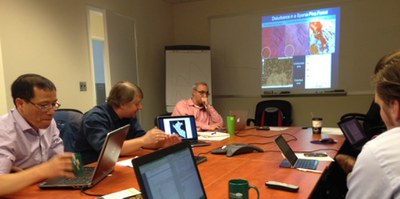
The inception meeting was attended by research partners from the University of Maryland, Boston University, SilvaCarbon and USAID. This study is part of FCMC’s Measurement, Reporting and Verification (MRV) task, which is an important element of a functional REDD+ mechanism.
The comparison study was planned with the primary objective of providing guidance to countries as they develop national forest mapping and monitoring programs for REDD+. With varying national capacities and circumstances, and with a variety of methods available, countries face complex choices for what methods to use for national forest monitoring systems. This activity will produce two major outputs: a comprehensive review of methods that are currently being employed for national forest cover mapping; and a direct comparison study of a subset of these methods that are currently being applied for national forest monitoring programs.
FCMC is partnering with SilvaCarbon and research groups at the University of Maryland, Boston University, the Institute for Hydrology, Meteorology and Environmental Studies (IDEAM) in Colombia and the Amazon Institute of People and the Environment (IMAZON) in Brazil to conduct the comparison study. The study partners will apply their methods to a series of Landsat remote sensing scenes in Colombia, Peru and Mexico, and the resulting forest cover change maps will be compared and evaluated. FCMC and its partners will produce articles for peer-reviewed journals, as well as detailed reports with guidance for countries from this activity.

